

The first decision most travelers face after choosing Xinjiang is which half to see. The question of Northern vs Southern Xinjiang comes down to two different trips packaged into one region: the north (Bei Jiang) is green, lake-filled, and postcard-smooth, while the south (Nan Jiang) is desert, old-town, and raw. After eight seasons driving both, my advice is simple — understand what each half delivers, then decide whether you have time for one or should loop both.
What “north” and “south” actually mean here
Xinjiang is split by the Tianshan range into two halves. North Xinjiang (Bei Jiang) sits above the mountains and includes the Altai region in the far north and the Ili River valley to the west. South Xinjiang (Nan Jiang) is everything below the Tianshan: the Tarim Basin, the Taklamakan Desert, the Pamir edge, and the old Silk Road oasis cities. The dividing line is real on the map and real in the experience — the climate, the faces, and the roads all change at the pass. Roughly speaking, go north for weather that stays mild and green, go south for heat, desert, and the high Pamir air.
Northern Xinjiang: grasslands, lakes, and autumn gold
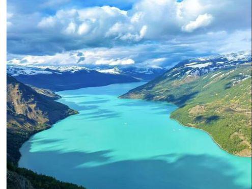
The north is the green half. The Altai mountains hold Kanas Lake and the wooden village of Hemu, a forested basin that turns gold and red in early October. The Ili valley to the west is grassland country — Nalati, Karajun, and the grasslands above Tekes — with Sayram Lake, a high alpine lake, at its northern edge. This is the “postcard Xinjiang” most people picture: wildflowers in summer, snow peaks behind green slopes, and livestock moving with the seasons. Hemu in particular rewards an early start — the morning haze over the timber houses and the horse riders crossing the valley is the image most clients remember, and it is reachable on a simple day drive from Kanas.
Infrastructure in the north is better. The roads are paved and well signed, tour buses run to the headline sites, and guesthouses are plentiful. For a first Xinjiang trip where you want reliable comfort and scenery, the north is the easier sell. Our Xinjiang attractions page lists the northern sites in the order I usually string them together.
Southern Xinjiang: desert, old towns, and the Pamir
The south is the dry, cultural half. Kashgar’s old town is the anchor — a living Uygur city of narrow lanes, workshops, and the great Id Kah Mosque. Southwest of it, the road climbs onto the Pamir Plateau to Tashkurgan, past the Karakoram range, with the Khunjerab Pass marking the Pakistan border at 4,693 meters. East and north, the Taklamakan Desert and the oasis ruins of the Silk Road (Kucha, Aksu, Hotan) fill the basin, and the poplar forests around Hotan and Yarkand blaze yellow in late October.
This half is rawer. Fewer tour buses, more working towns, and a stronger sense that you are somewhere few foreign visitors reach. Kashgar’s old town deserves a full day on foot: the workshops where they beat copper and repair violins, the tea houses where old men play dice, and the Sunday market that still trades on a scale that shocks first-time visitors. The Karakoram Highway south from Kashgar toward Tashkurgan follows a river gorge into the Pamir, with Kyrgyz yurt camps and views of 7,000-meter snow peaks that need no filter. The trade-off is that logistics are rougher and the comfort level dips. For travelers who want culture over scenery, the south is the deeper experience, and a well-planned Xinjiang itinerary treats Kashgar as a base rather than a drive-through.
Landscape and culture at a glance
| Factor | Northern Xinjiang | Southern Xinjiang |
|---|---|---|
| Signature scenery | Grasslands, lakes, forests | Desert, oasis, Pamir peaks |
| Culture | Kazakh, Mongol herders | Uygur cities, Silk Road |
| Infrastructure | Developed, tourist-ready | Raw, adventurous |
| Best known for | Kanas autumn, Ili valleys | Kashgar, Pamir, poplars |
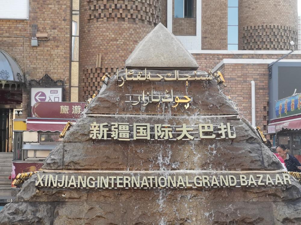
Logistics: the north is easier, the south needs a permit
Northern Xinjiang is straightforward. You can fly into Urumqi or Yining, rent a car with a driver, and follow a loop of grasslands and lakes with minimal paperwork. Roads are good and the main sites are built for visitors. Moving between the halves is easy by air — Urumqi is the hub with frequent flights to both Yining (north) and Kashgar (south) — or by the slower but scenic rail that now reaches Kashgar from the north. Most of my clients fly one leg and drive the other to save time.
Southern Xinjiang adds one real wrinkle: the Pamir. To go beyond Kashgar to Tashkurgan you need a Border Permit (often called the Pamir permit), applied for in Kashgar with your passport and a local address. It is free and quick, but you must plan for it — I’ve had clients turned back at the checkpoint without it. The rest of the south — Kashgar, the desert oases, the ruins — is open with no special permit. The Xinjiang travel guide I keep updated covers the exact documents to carry.
Seasons: when each half peaks
The north’s window is June through September for grasslands and wildflowers, then late September to mid-October for the Kanas and Hemu autumn that draws photographers across Asia. After mid-October the north shuts down for winter, and the Altai roads can snow over.
The south’s window is broader: May through October keeps the Pamir roads open and the oasis towns comfortable, while the poplar forests hit their yellow peak in late October — later than the north’s autumn. Summer in the south is hot (Turpan and the basin regularly pass 40°C), so spring and autumn are the sweet spots.
| Element | Northern Xinjiang | Southern Xinjiang |
|---|---|---|
| Green / bloom season | Jun–Sep | Spring (Apr–May) |
| Autumn peak | Sep–mid Oct (Kanas) | Late Oct (poplars) |
| Summer heat | Mild up north | Extreme in the basin |
| Winter | Roads close (Altai) | Cold but oases stay open |
Food and daily life
The north leans on Kazakh and Mongol herding food: dairy, hand-pulled laghman noodles, and mutton cooked over open flame, eaten in yurt camps and small town restaurants. The south is Uygur through and through — naan from every corner bakery, polo (pilaf), kebabs, and the elaborate pulled-noodle dishes of Kashgar’s night market. If food is a reason you travel, the south’s city kitchens are the more exciting half, and our Xinjiang cities notes point to the market stalls worth the walk.
How to choose your route
For a first-timer short on time, I send most people north: the scenery is kinder, the roads are easier, and a Urumqi–Kanas–Ili loop gives a complete Xinjiang in a week or ten days. Choose the south if your interest is Uygur culture, desert, and the Pamir, and you are comfortable with rougher logistics and the Border Permit step.
The ideal, if you have 14–21 days, is a loop that takes in both: north for the grasslands and Kanas, then south via the Duku Highway road trip over the Tianshan into the Tarim Basin and on to Kashgar and the Pamir. That single drive is the cleanest way to connect the two halves without backtracking, and it is one of the best days of road in the country. I usually schedule it for late September, so the north is at its autumn peak and the south’s poplars are just beginning to turn as you arrive — the timing lets you catch both color seasons in one trip.
Verdict
North for scenery, comfort, and a first impression. South for culture, desert, and adventure. Both in a loop for the complete picture. There is no wrong answer, only the question of whether your time and temper fit the smoother north or the rougher, richer south.
On cost, the two halves are similar once you are on the ground — rooms and meals run RMB 200–400 and RMB 30–60 respectively in both — but the south’s longer distances from Urumqi and the Pamir permit step nudge a southern-heavy trip slightly higher in driving days. If your budget is tight and your time short, a northern loop gives the most payoff per day; if your interest is culture and you can take the slower pace, the south earns its extra logistics.
Frequently asked questions
Is Northern or Southern Xinjiang better for a first trip?
Northern Xinjiang. The infrastructure is better, the scenery is the iconic “green Xinjiang” most people expect, and you can build a loop without permits. The south is rewarding but demands more planning and tolerance for rough edges.
Do I need a permit for Southern Xinjiang?
Only for the Pamir, to reach Tashkurgan from Kashgar. That Border Permit is free and issued locally with your passport. Kashgar, the desert oases, and the Silk Road ruins need no special permit beyond a standard Chinese visa.
When is the best time for the Kanas autumn colors?
Late September to mid-October, with the first two weeks of October usually the peak. Book lodging early — the narrow window makes the Altai region crowded and the guesthouses fill fast.
Can I see both north and south without backtracking?
Yes. The Duku Highway crosses the Tianshan and links the Ili grasslands to the Tarim Basin, letting you run a north-to-south loop that ends in Kashgar. Allow 14–21 days for the full circle.
Which half is hotter in summer?
The south. The Tarim Basin and Turpan regularly exceed 40°C in July and August, while the northern grasslands stay mild. If you travel in summer, favor the north or the Pamir; save the basin for spring or autumn.
Which has better food?
The south, for variety and atmosphere — Kashgar’s night market and the Uygur bakeries are a highlight. The north is excellent too, especially Kazakh dairy and noodle dishes, but the south’s city food culture runs deeper.